
GIS Services
GIS Services
Cartography
We create custom maps for online and interactive platforms. Tailor them to look great and work perfectly, whether static or dynamic. Access and share securely via our online portal.
Mobile Device Data Collection
We provide mobile GIS apps for smartphones and tablets to make field work easier. Capture data in real time, sync it instantly when connected, and collect offline in remote areas.
Aerial Imagery
We handle sourcing high-resolution aerial and satellite imagery, negotiating with suppliers for the best quality and value. We then process the imagery—orthorectifying it and converting it into ready-to-use formats—for seamless integration into your GIS systems or public viewing platforms.
Reporting
We can produce and assist with the creation of specialised maps and datasets for compliance requirements with internal and external government regulations
Database Management
Design and maintainence of GIS databases ensuring data integrity, security, and accessibility. Services include data normalization, optimization, and integration with existing business systems.
GIS Support and Training
We deliver custom training sessions and ongoing help for GIS software and tools, matched to your team's current skills and goals. From basic map creation to advanced spatial analysis, we make sure everyone can use GIS confidently and effectively.
Conversion and Integration
Convert data from BIM or CAD files into GIS-ready formats, keeping everything accurate and intact. Integrate it smoothly with your other business systems to unlock better spatial analysis, clearer visualizations, and more efficient operations.
Upgrades
We can manage software & server updates as well as integrations with other software packages used in other departments / sites.
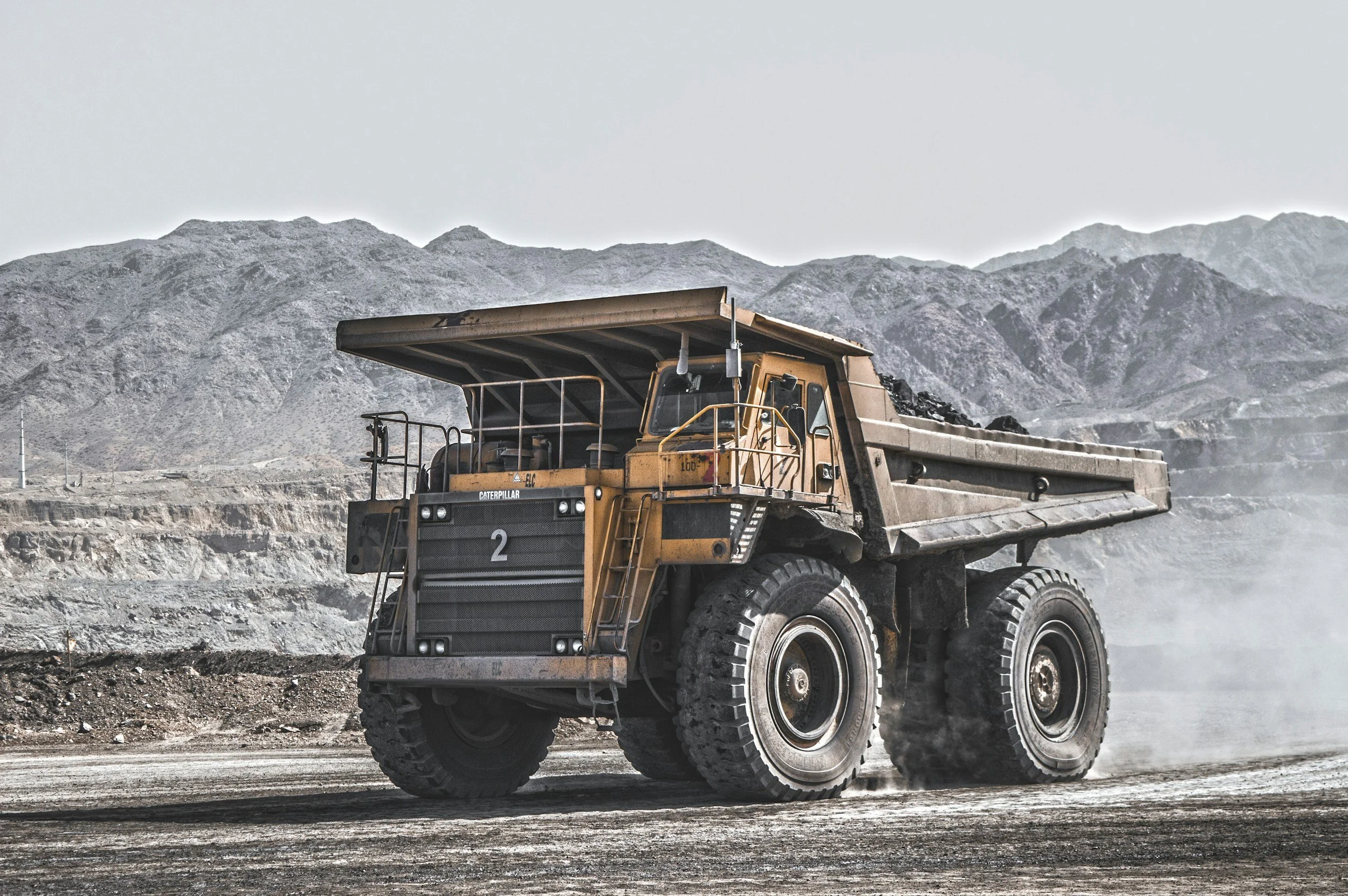
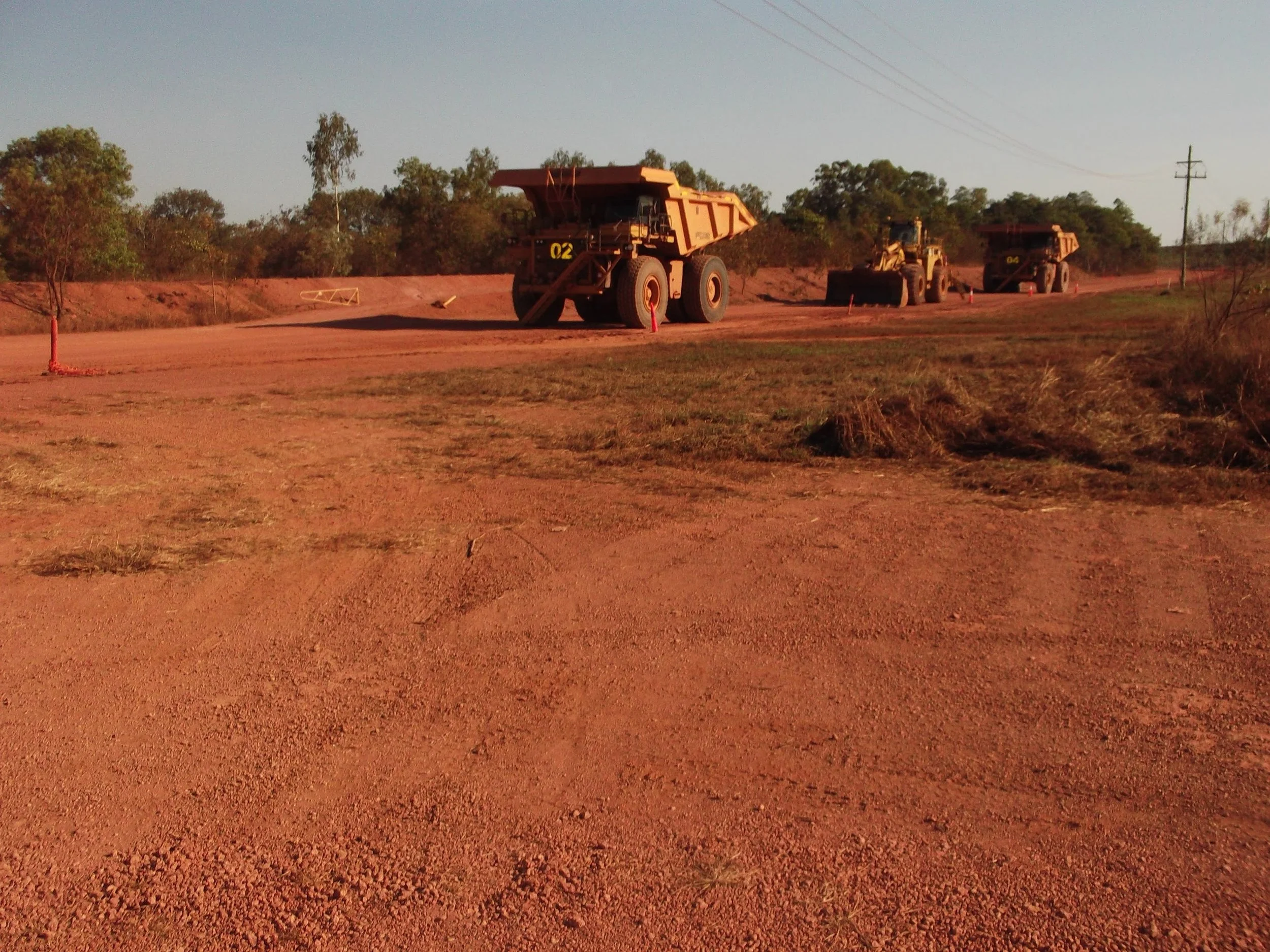
Mining
Exploration
Integration of geological, geophysical, and geochemical data to identify potential mineral deposits. This includes processing satellite and airborne sensor data along with ground surveys
Mine Planning and Operations
Infrastructure Design: Design of mining infrastructure such as haul roads, pit roads, access tracks, operational centres, tailings dams, utilities and related infrastructure
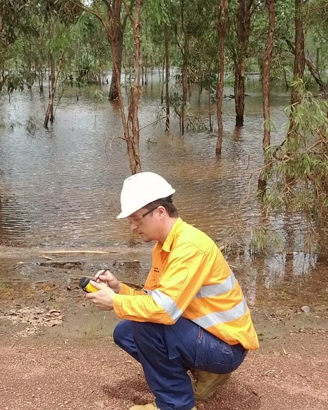
Environmental and Safety Monitoring
Hazard Assessment: Modelling soil erosion, water pollution, subsidence, aiding in safety planning and emergency response
Rehab and Closure: Planning and executing rehab activities, ensuring compliance with environmental regulations and optimising land restoration efforts
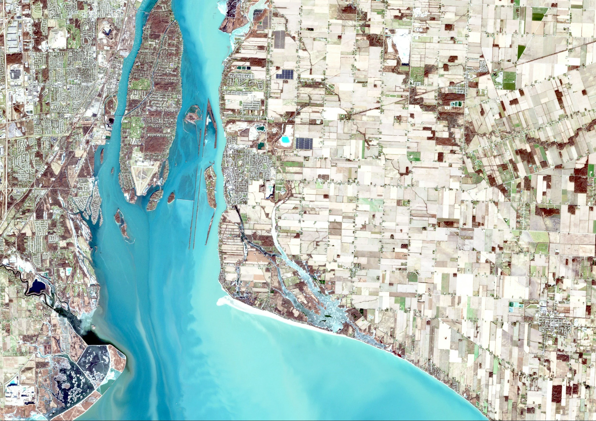
Data Management and Visualization
Storing and managing spatial data, making it easier to analyze trends, perform spatial queries, and maintain accurate records over the mine's lifecycle. All possible in proprietary and open source databases - relational, file based, cloud based and raster databases
Local Government
Asset Management:
Track roads, streetlights, water/sewage mains and similar assets to plan maintainence and upgrade task
Area Management
Track cemeteries, beaches, parks, wetlands, ovals to plan ground work
Transport Management
Track buses, trams, bike lanes, parking and paths to optimise use and reduce travel times
Permit Management
Track building permits /development applications to ensure compliance and response times
Regulatory Enforcement
Track noise complaints, barking dogs and building codes

Front-end spatial solutions
Dashboards
Environmental - displaying compliance, KPI's and locations of field work
Mining - Daily, monthly and yearly reports/metrics. Forecast work locations for exploration, development and rehab teams
Safety - Track incident status and locations. Highlight outstanding incidents and focus on problem areas
Survey Forms - where location data is optional
Environmental - Water, dust, noise & rehab forms to assist field workers collecting accurate data
Mining - Stockpile survey and volumes
Safety - Record Incident details or daily HSE checks
Field Apps
Environmental - Capture weed locations or areas to be treated
Mining - Navigate to remote mine blocks for field inspection. Designate areas
Safety - Record incident details and location
StoryMaps
Tell stories using rich content and spatial data to engage internal and external stakeholders.
Use custom webmaps, 3D scenes, videos, photos and audio to enchance presentations.
Hub
Share content with local communities to build engagement and assist decision making
About
I combine in-depth knowledge of both proprietary (e.g., ArcGIS tools like Survey123, StoryMaps, Dashboards, Experience Builder) and open-source geospatial technologies. This allows me to recommend and implement the best-fit approach for each client's needs.
I help clients integrate GIS seamlessly with their existing data systems, automate workflows for greater consistency and efficiency.
My primary goal is to streamline your processes, deliver value, and equip you with the knowledge and skills to manage and maintain the solution independently.
If you're in mining, local government, or environmental management anywhere in Australia and need GIS support, reach out and let’s discuss how I can assist
I’ve had 20 years of hands-on experience in GIS, IT, and environmental sectors.
With a solid IT background, I’ve worked on GIS projects in Australia’s mining industry, waste sector, state and local governments, and environmental consultancies.
I work closely with everyone involved—internal teams and external partners—to understand what’s needed, solve practical business problems, and deliver useful GIS solutions.
I regularly collaborates with surveyors, engineers, mine planners, local communities, electrical teams, heritage experts, vendors, and contractors.